Get Out. Get Active. Get Healthy Community Maps
Making finding places to exercise and eat healthy a seamless experience.
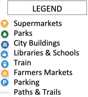
The PATHS team is building a series of online maps/apps for three Connecticut communities. These maps will be made with Google Maps and will display places for:
- Exercise Public Parks, Walking Paths, Hiking Trails, and Multi-Use Trails
- Nutrition Farmers Gardens, Community Gardens, Food Trucks
- Community Resources Schools, Libraries, Town Facilities, Local organizations
These maps will be updated to include services provided, hours of operation, and additional resources. This mapping project is made possible by a grant and funding from the David and Nancy Bull Extension Innovation Fund at UConn, UConn Extension PATHS (People on Trails for Health and Sustainability) Team and Bike Walk Connecticut.
Meriden, Connecticut GO Map
Click the map to engage with it just like you would in Google Maps
Directions on how to use the map are below the map.